Dominic Cronin: Ordnance Survey Ireland
LiDAR and Mapping Data for Community Use
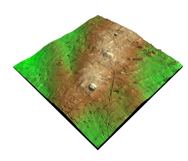
Dominic Cronin will be discussing the uses that the Ordnance Survey LiDAR products can have for community groups and citizen archaeologist as they investigate the features and monuments that dominate their local areas.
For more information, please see:
http://www.osi.ie/products/professional-mapping/height-data/
For more information, please see:
http://www.osi.ie/products/professional-mapping/height-data/