Kevin Barton & Christy Lawless: Landscape & Geophysical Services; Community Archaeologist
Schools Archaeological Remote Sensing (SARS) Project; Results and Future Plans
Kevin has over 25 years experience in managing and conducting geophysical surveys in Ireland and overseas. He and his team specialise in services such as LiDAR processing, visualisation and interpretation, vertical electric sounding (VES), electrical resistivity tomography (ERT) and ground penetrating radar (GPR) which are all necessary for the assessment of environmental, geological and heritage resources. Training, research and development services play a large part in what is offered to communities, commercial companies and academic organisations.
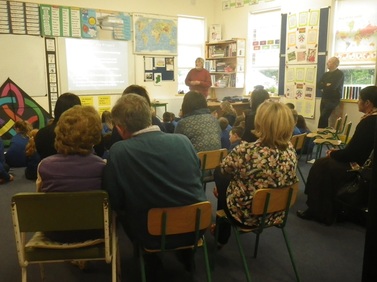
At the conference in 2015 Kevin posed the question “How can archaeological remote sensing be used by schools, local community and heritage groups? He presented four short case histories to illustrate some methodologies being used to address the question. One case history presented work with a school; innovative work with schools being carried out in association with Christy Lawless will be presented and discussed at the 2016 Conference.
For more information on Kevin Barton & his work, check out the link: http://www.lgs.ie/